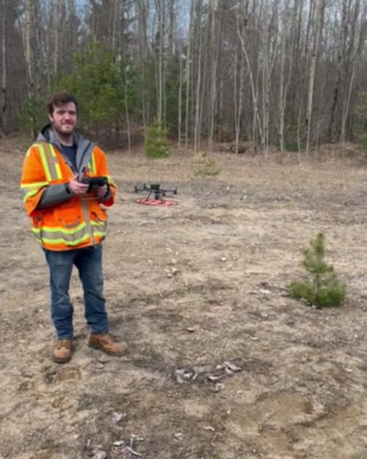
Drone surveys
Aerial site mapping for large, changing, or hard-to-reach properties. Survey control and drone imagery can support orthomosaics, surface models, site planning, and project documentation.
Licensed land surveying in Potsdam, NY
Boundary, topographic, ALTA, and GPS surveys in St. Lawrence and Franklin counties. Louis Maine, LLS.
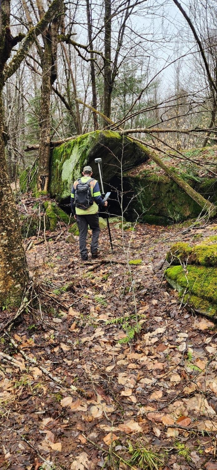
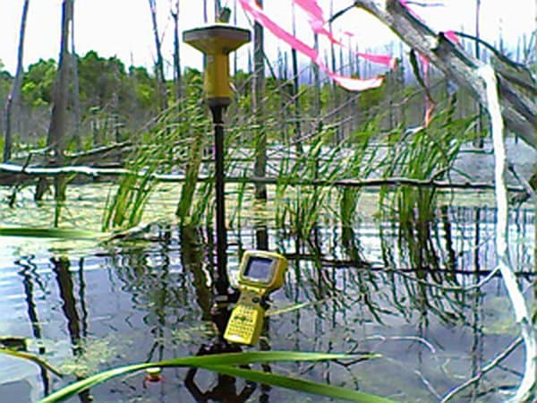
Property lines located and marked, corners found or set.
Learn moreContours and site features for engineers, septic design, and site plans.
Learn moreLand title surveys for commercial property transactions.
Learn moreSurvey-grade GPS for large, wooded, and remote parcels.
Learn moreSubdivisions, lot line adjustments, easements, CAD and GIS files.
Learn moreNot sure which one you need?
Call LouisSpecialty work
Special equipment for sites that are difficult to cover from the ground alone. We scope the method and deliverables around the property and the decision the survey needs to support.
Aerial site mapping for large, changing, or hard-to-reach properties. Survey control and drone imagery can support orthomosaics, surface models, site planning, and project documentation.
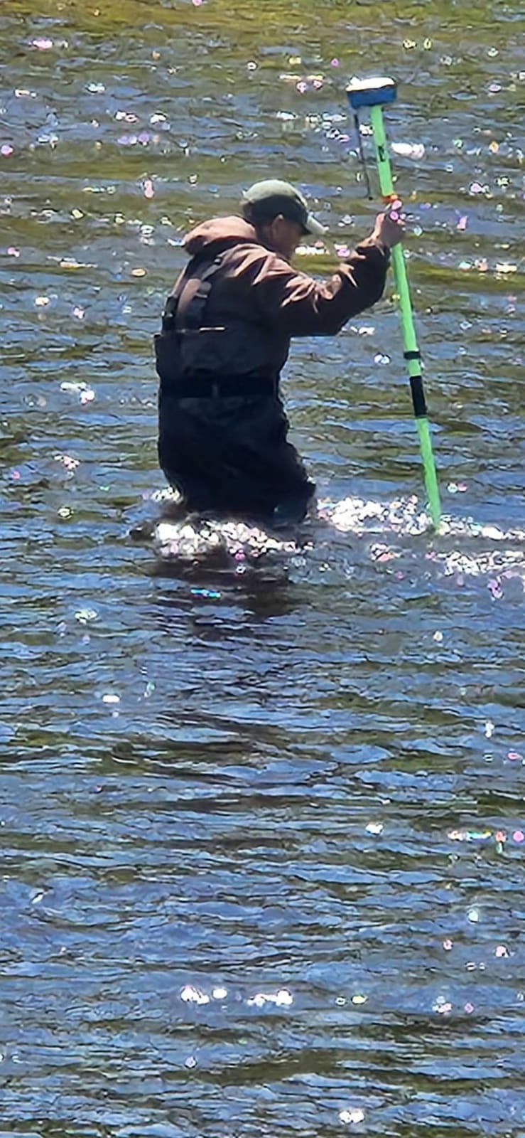
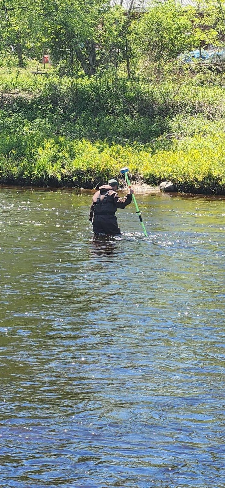
Depth, shoreline, and underwater terrain measurements for ponds, lakes, rivers, waterfront planning, and other projects where the survey continues below the waterline.
1150 Sylvan Falls Road, Potsdam, NY 13676