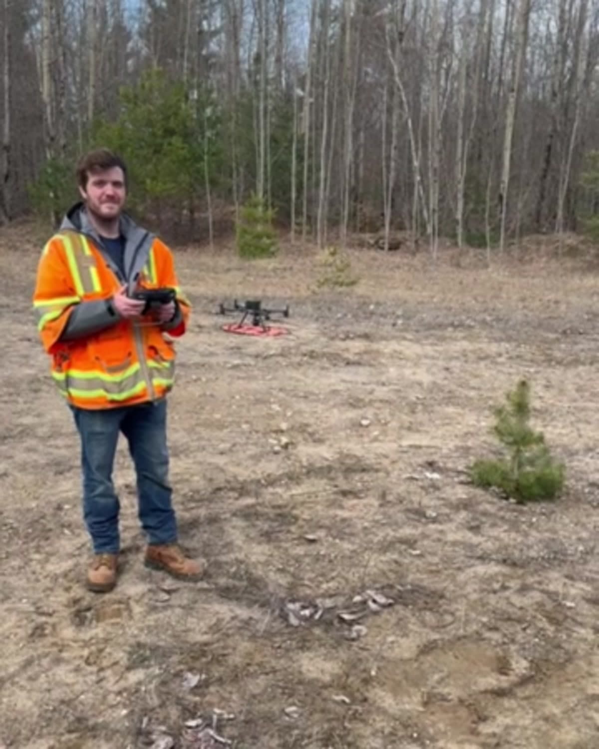
Drone surveys
Aerial site mapping for large, changing, or hard-to-reach properties. Survey control and drone imagery can support orthomosaics, surface models, site planning, and project documentation.
Request a drone surveyMaine Land Surveying, PC provides boundary, topographic, ALTA/NSPS, GPS, and digital mapping services for property owners and commercial teams across Northern New York. We start with the property, the records, and the decision you need to make, then scope the field work and deliverables around that goal. Every project is explained in plain language before work begins.
Typical work moves from records research to field observations, quality control, and a sealed map or digital files. Timelines depend on acreage, terrain, title records, and municipal deadlines. We regularly serve Potsdam, Canton, Massena, Ogdensburg, Malone, and surrounding communities in St. Lawrence and Franklin counties.
Property lines located and marked, corners found or set.
Learn moreContours and site features for engineers, septic design, and site plans.
Learn moreLand title surveys for commercial property transactions.
Learn moreSurvey-grade GPS for large, wooded, and remote parcels.
Learn moreSubdivisions, lot line adjustments, easements, CAD and GIS files.
Learn moreSpecialty work
Special equipment for sites that are difficult to cover from the ground alone. We scope the method and deliverables around the property and the decision the survey needs to support.
Aerial site mapping for large, changing, or hard-to-reach properties. Survey control and drone imagery can support orthomosaics, surface models, site planning, and project documentation.
Request a drone survey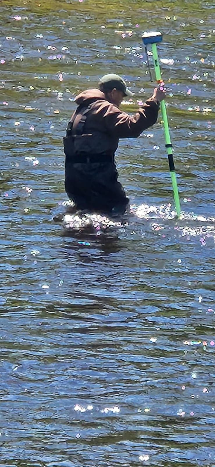
Depth, shoreline, and underwater terrain measurements for ponds, lakes, rivers, waterfront planning, and other projects where the survey continues below the waterline.
Ask about water surveying1150 Sylvan Falls Road, Potsdam, NY 13676